

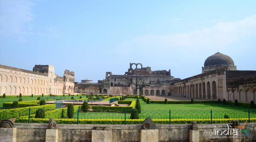
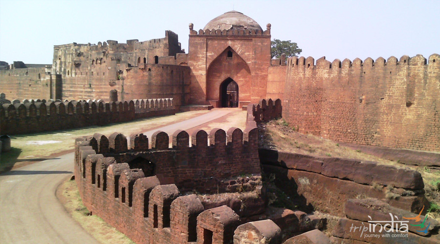
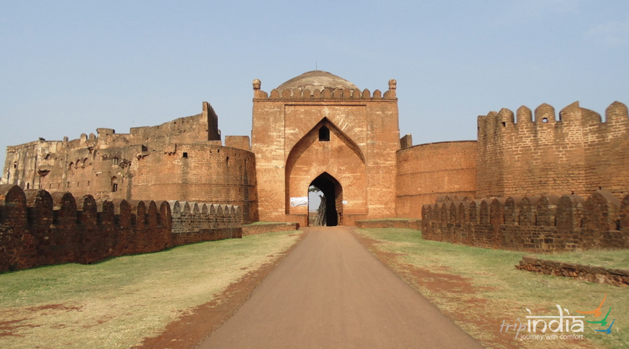
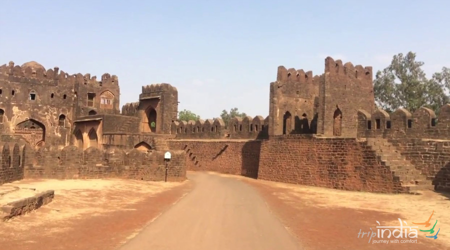
Bidar Fort, located in Bidar district of Karnataka, India, is spread over an area of 12 square miles. It lies 2,200 feet above sea level and faces the Manjira river valley. The fort, town and the district all are known by the name Bidar and was built in 1322 when it was still a small fort .The Muslims had invaded the region and Prince Ulugh Khan had captured the fort. This was followed by the Tughlaq dynasty which held control over the fort before Sultan Alla-Ud-Din Bahman Shah Bahmani of the Bahmani dynasty seized it. Ahmad Shah I (1422-1486) declared Bidar as the capital of the Bahmani kingdom before renovating the fort. A number of mosques, madrasas, palaces, gardens and other Islamic monuments were raised during this time. After the collapse of the Bahmani dynasty Bidar came under the control of the Barid Shahi dynasty before it was taken over by the Bijapur sultanate in 1619 only to be later seized in 1656 by the Mughal Viceroy of Aurangzeb. In 1724, Bidar became a part of the kingdom of the Nizams. Mir Nizam Ali Khan Asaf Jah III imprisoned his brother in this fort and took control in 1762. Post-independence Bidar became a part of Karnataka.


admin
73 Reviews"Very Good"
Was this review helpful? 1 like this
admin
73 Reviews"Very Good"
Was this review helpful? 1 like this
admin
73 Reviews"Very Good"
Was this review helpful? 1 like this
admin
73 Reviews"Very Good"
Was this review helpful? 1 like this