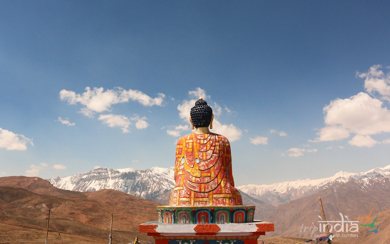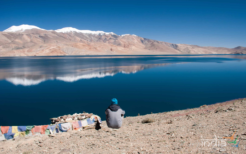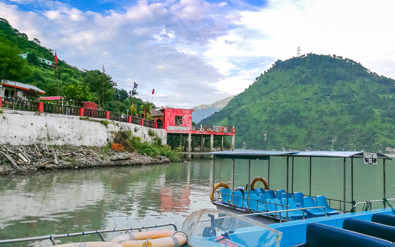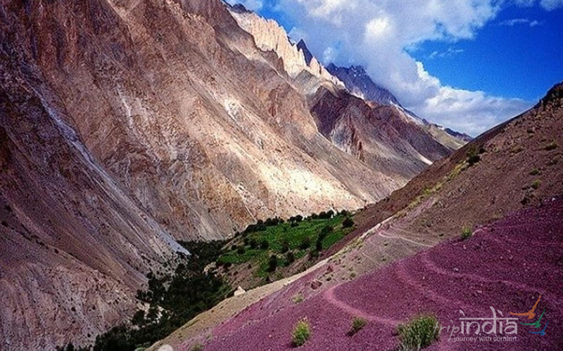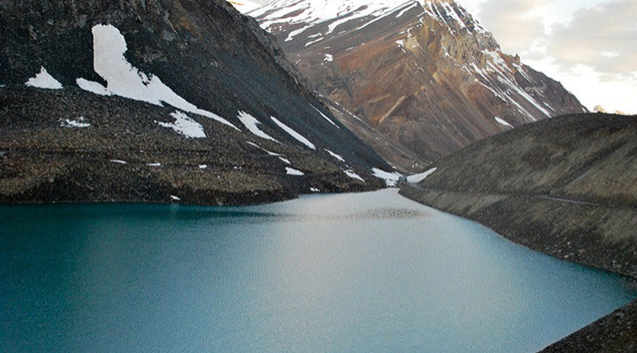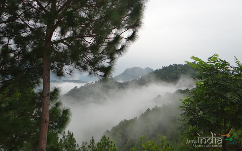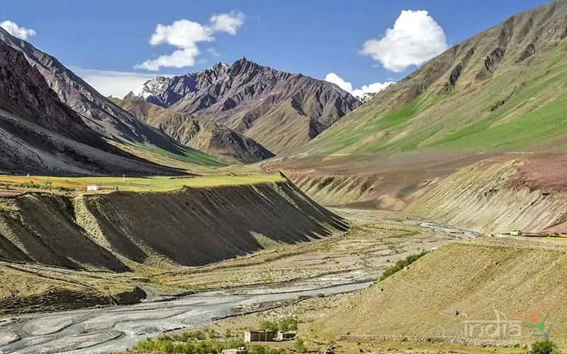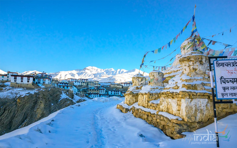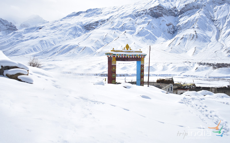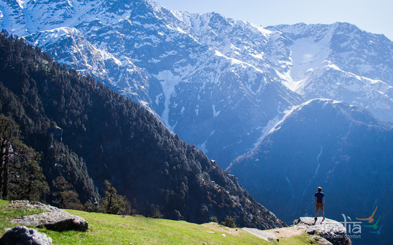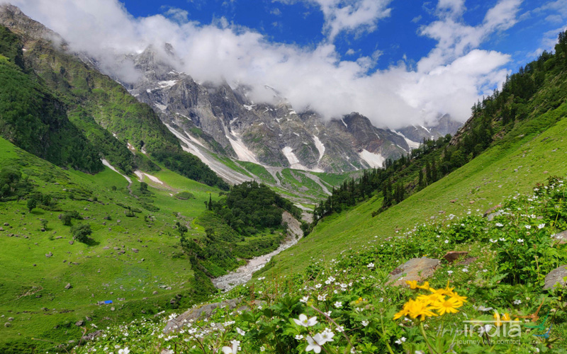
Parang La trek is an ancient trade route between the Spiti in Himachal, Tibet & Changthang in Ladakh region. Parang La trek can be started from either Karzok village in Leh or from Chicham / Kibber village in Spiti. The trail takes you to a maximum altitude of around 5600 meters to Parang La & follows the Pare Chu river which goes to Tibet & re-enters India. The main attraction of the trail is the old yet dynamic mountain features which resemble a unique pattern of being under the sea for a long time & houses some of the unique fossils. The trail has vast meadows which were a grazing ground for horses from Spiti Valley. The most amazing part of the trek is the walk along the Tso Moriri Lake for complete 2 days where the lake offers different shades of blue with many unclimbed peaks in the background. The endpoint is Karzok village which houses one of the old & powerful monasteries in Leh.
Tour Highlights:
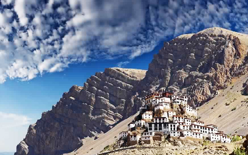
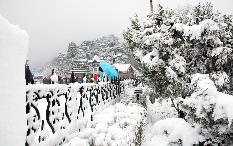
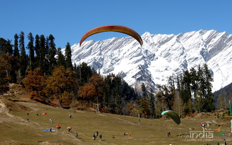
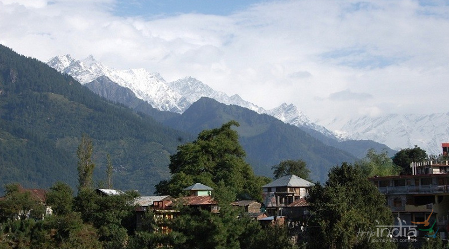
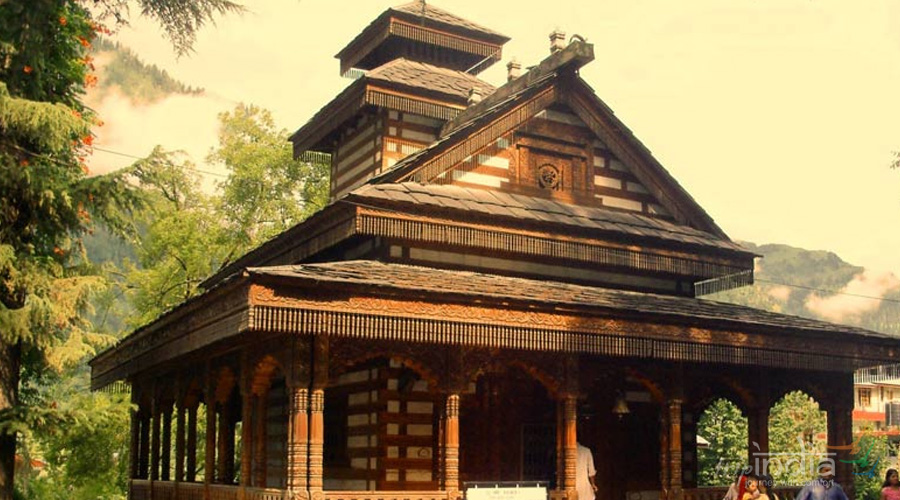
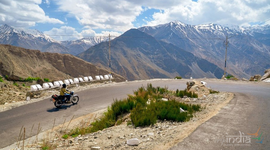
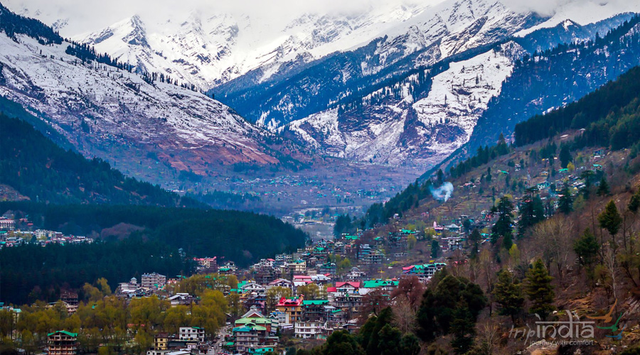
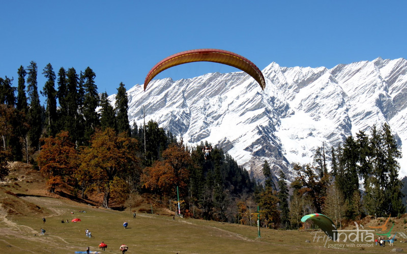
Start early on Day 1 to reach Kaza latest by 03:00 to 4:00 PM. The major highlight for the day will be Rohtang Pass & Kunzum La which has a famous Kunzum Mata Mandir. The drive from Kunzum La to Kaza is a beautiful one along the Spiti river & one can view Key monastery in the background welcoming to this beautiful place called Kaza. Reaching early has certain benefits, one can stroll in the local market of Kaza & is always buzzing with tourist from June till late October.
Overnight stay will be in hotel in Kaza.
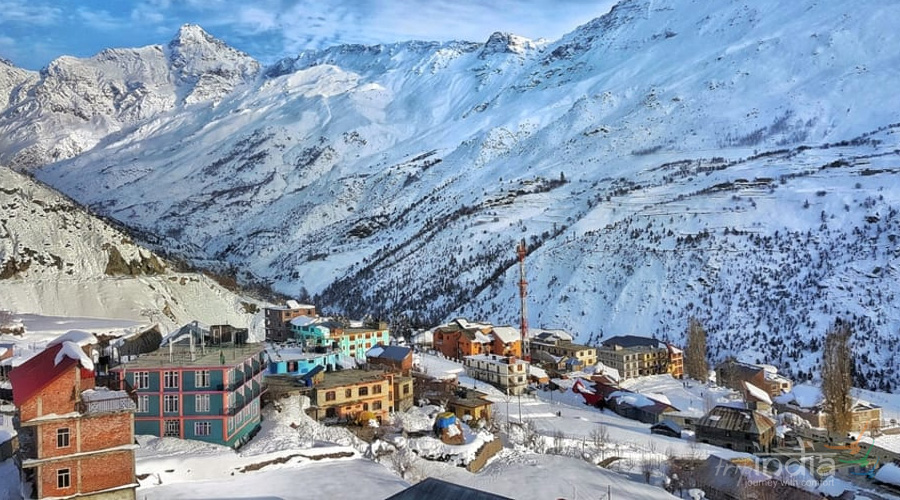
Today & tomorrow are for acclimatization. We will start with a small hill walk in the morning. The days are planned in a way that one remains physically active which includes a walk along the Spiti river bank after breakfast & visit to the local Key monasteries & gompa in the afternoon. After visiting monastery, we will head towards Chicham village through its famous trolley bridge. Overnight will be in a homestay in Chicham which is our starting point of the trek & at an altitude of 4270 M.
Rest & Acclimatization Day at Chicham
The initial trek starting from Chicham is on a well paved metallic road which takes you out of the village with almost zero ascents & after walking on it for around 45 minutes one can see the Dumla campsite on their right in the valley below. While approaching Thaltak the Kanamo peak is visible on the right side surrounded by mountains devoid of any snow or vegetation post monsoon. It takes around 6-6.6 hours of trekking to reach the Thaltak campsite. Total ascent during the day is of 636 M & descent of 144 M. This campsite is an oasis in the middle of the barren land & offers an amazing view of the Kanamo Peak. One can find typical grass in this meadow with Thama bush on the periphery of the campsite to accompany it.
Overnight stay in camps
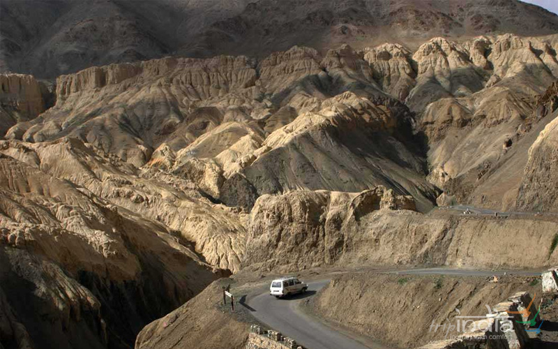
The trail from Thaltak starts descending in a deep gorge with trail made of loose rocks, gravels & one need to be very careful while descending as it is a prominent rockfall zone as well. The trail goes to the bottom of constricted valley devoid of any kind of sunshine. It takes an hour and a half of continuous descent to reach the bottom of the valley where you are welcome by the gushing river locally called Rong Nala. The trail is along the upstream & the river is on your right-hand side. After crossing the landmark Rong Nala bridge the river turns on your left & goes along till you leave it for the ascent of Juktha, another beautiful campsite. The trail along the riverside is typical of any other mountainous river bed with big & small rocks & pebbles making your way forward. The ascent to Jukhta is on screen and quite demanding. The trail from Jukhta is gradually ascending with an open view of signature style ever eroding mountain faces of Spiti valley. The relentless climb over barren & rocky terrain takes you to Borochen, the campsite of the day which has few water streams ideal for small group campings. Borochen campsite is on the foot of Parang La & is devoid of any kind of vegetation at an altitude of 5100 M. Total trekking distance of 12 KM took nearly 8 hours with the ascent of 857 m & descent during the day at 455 M.
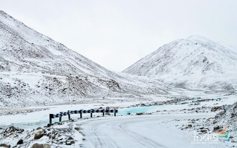
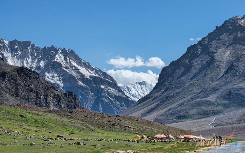
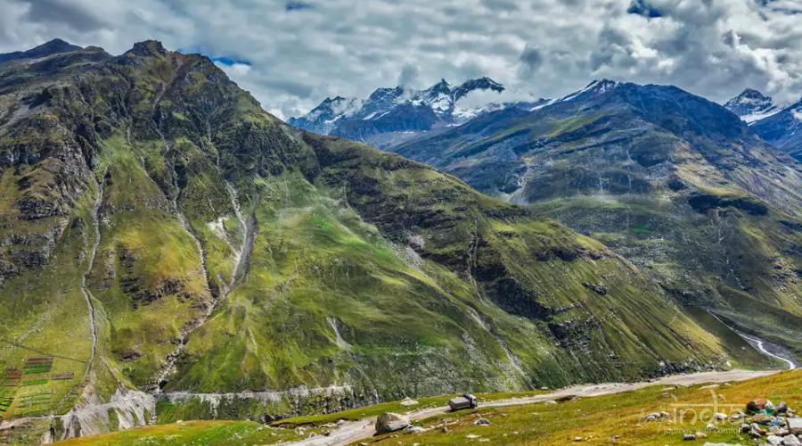
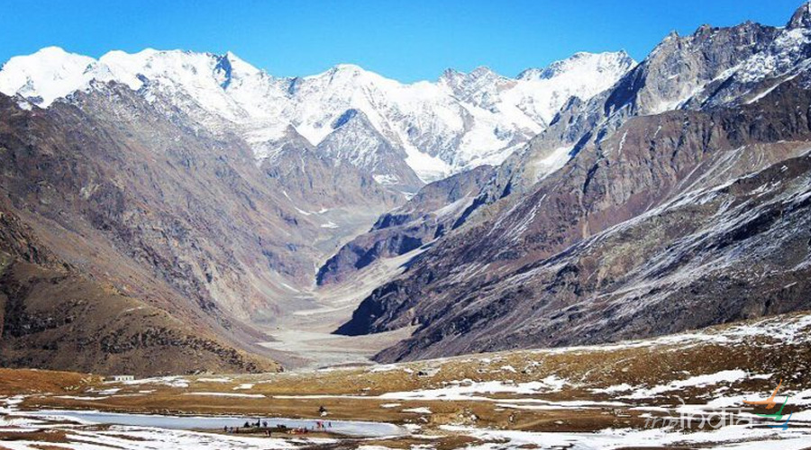
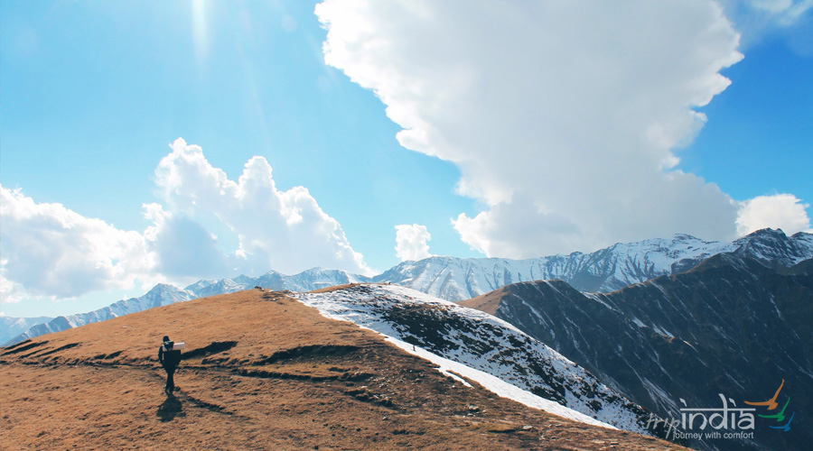
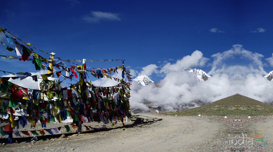
The pass day in any trek is always demanding & especially when you are at an altitude of 5100 M it demands another level of fitness. After a steep climb of 1.5 hours through moraines one reaches another campsite ideal for camping of a very small group. This campsite has a stream of water coming out of rock face & is locally called Thakchu campsite. The climb towards the pass is through a zig-zag trail which is well marked out by marks of mules & horses. It takes 3.5 to 5 hours of the relentless climb to reach the highest point of the Parang la trek. The pass offers great views of the Spiti and the Changthang valleys along with the view of Parilungi peak. After crossing the pass the way forward is descent on the Parang La glacier. You can hear the sound of gushing water beneath your feet. The glacier boast of few crevasses as well so one needs to be extremely careful while negotiating the same. It takes around 2 hours of nonstop descent on the glacier to reach the Lakku campsite. The trail follows the glacier river downstream with vast dry river bed on your right. Kharsa Yongma campsite is around 1.5 hours down to the snout of the Parang La glacier. Total ascent during the day is of 548 M & descent of 750 M. The visibility here is extremely good & one can see the next campsite with bare naked eyes. This campsite is on the left bank of the river bed & boast of a stream of potable water
The vast river bed of Datang Nala downstream offers freedom to choose your own trail & after walking for almost 3 hours on the vast river bed & crossing numerous streams & some with shoes removed, we crossed campsites of Datang Yongma & Datang Kongma both an hour distance apart. Tsoma Nala flows along the left side of Datang Yongma campsite. Lasoma or Takli La nala joins the Datang nala beyond Yongma campsite. Total ascent during the trail is 290 M & descent of 396 M.
The trail from Kapapuche to Kitpodansa is similar to the previous day with a very minor change in the altitude. The trail is mostly on the river bed of Pare river. There are several river streams/Nala joining the mail Pare Chu river & one of them is Falangbado Nala. Phalum Phada campsite which is first to come has some huge rock structure, small shallow caves which acted as a natural shelter for the traders in an earlier time. The Racholamo campsite is at the intersection of 2 valleys after Falangbado Nala joins the main river. Lakuk Nala is another major tributary to this river which follows the Racholamo campsite. The trail is entirely on the river bed.
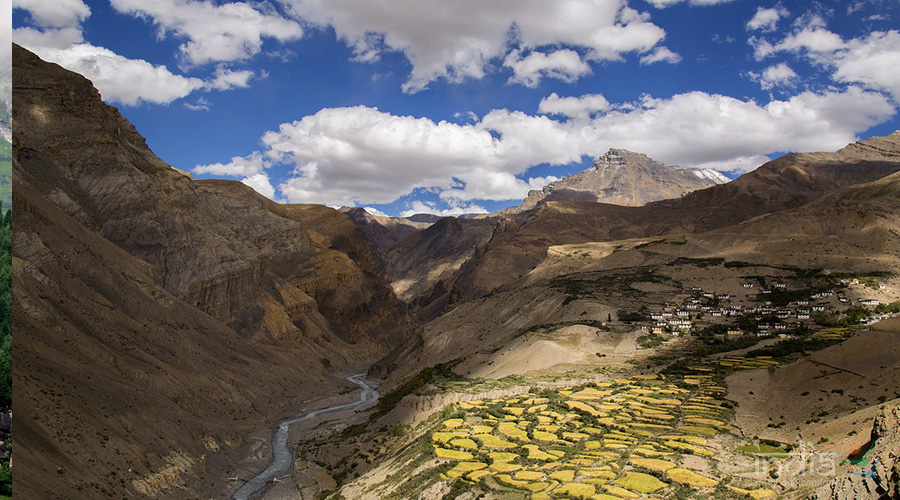
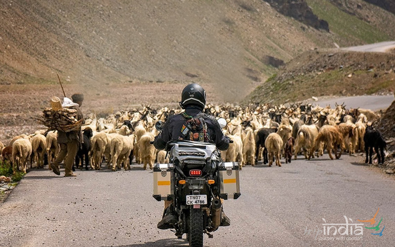
The trail after following the downstream course of Parechu river takes a sudden left turn towards Norbu Sumdo. The major hurdle or attraction of the day is crossing or traversing the strong current of Parechu river where water level can go up to waist level. The level of water rises during noon time & one has to cross the same making a human chain. The Parechu river leaves us on its course towards Tibet & after taking a left turn landscape changed from the barren river bed to lush green meadows, small yellow flowers & few streams of water. This is Norbu Sumdo, the gateway to Ladakh & a border between Spiti & Ladakh. The changed vegetation was full of life with quick appearances of mammals like Kiang (wild ass), a black wolf & Marmot. After an hour of the walk, we reach the campsite of Chumik Shilde which boasts of lush green meadows with spring water in plenty.
The trail ahead is flat land with meadows left behind after a couple of hours walk. One can see some of the snow-covered peaks of Mentok series. The trail takes us to the southernmost tip of Tso Moriri Lake where one starts getting the glimpse of this pristine lake. There is no source of water between Chmik Shilde & Kinagdom, the campsite is known for its wild asses. total ascent for the day is 121 M & descent is 76 M.
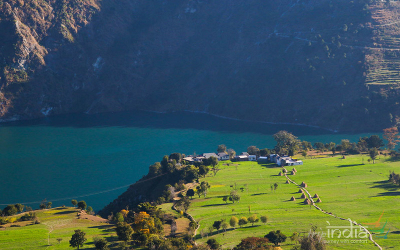
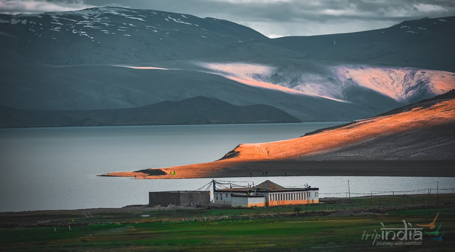
The trek is along the shores of Tsomoriri lake & lake is always on your right side. This trail is one of the beautiful ones with the views of Chamsher Kangri peak & Lungser Kangri peak in the background. The trail to Korzok village is the last & only ascent one has experienced in a few days. The trail for the day covers a distance of 21.5 Kms in 8 hours & 22 min. The ascent for the day is 226 M & descent is marked at 179 M.
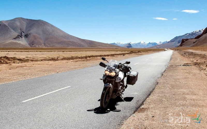
Board the shared vehicle in the morning to Leh. It should take around 5-6 hours to reach Leh. You can ask our representatives to arrange the transport from Karzok to Leh and additional stay in Leh (if required). The same can be arranged at an additional cost.
Subject to availability at the time of booking or else similar hotels will be suggested: -
| Destination | Luxury | Deluxe | Premium | Choose |
|---|
We would be more than happy to help you. Our team advisor are 24/7 at your service to help you.